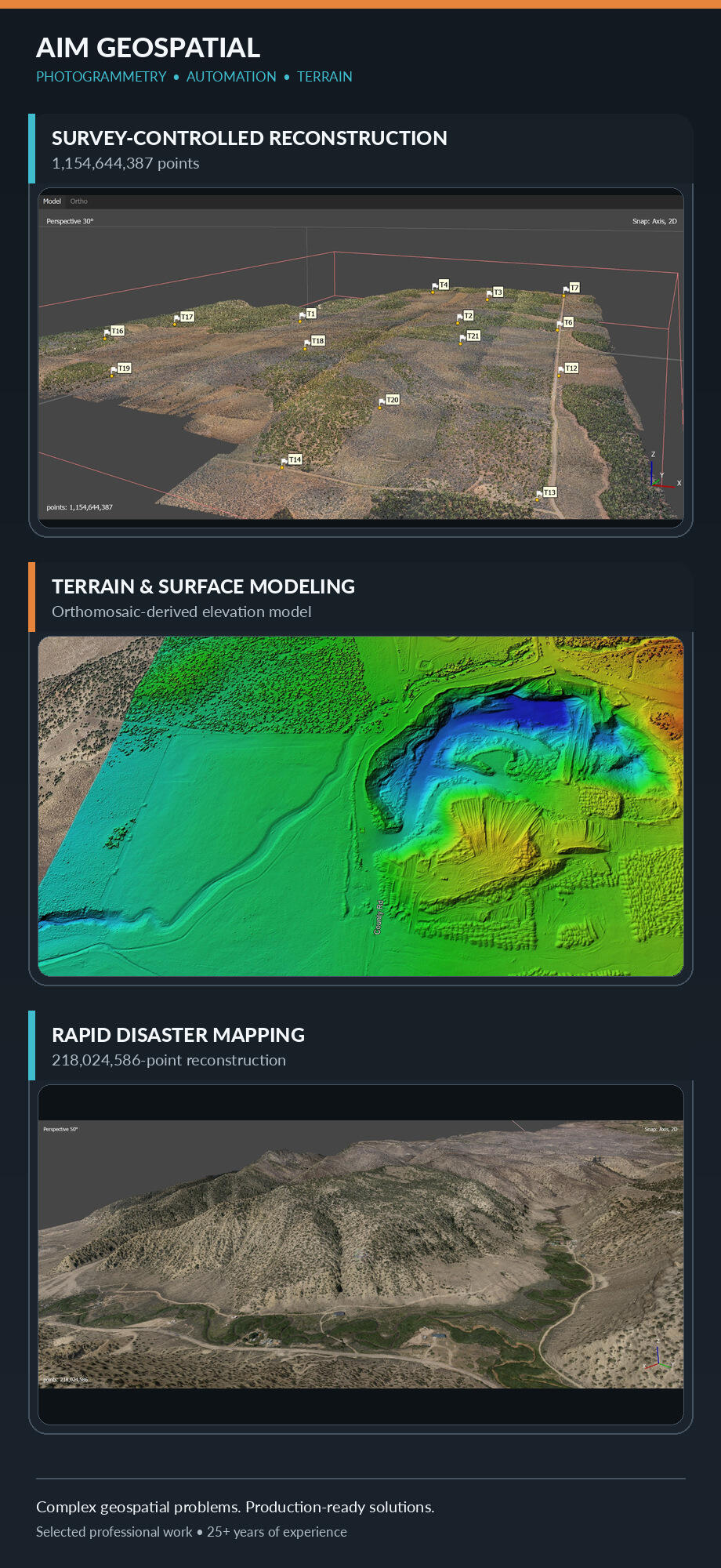
Complex Geospatial Problems
Production-Ready Solutions
Photogrammetry lead and geospatial automation specialist with 25+ years of experience turning difficult imagery, terrain data, historical maps, and large production workflows into accurate, repeatable deliverables.

Capabilities
AIM provides senior-level photogrammetry, geospatial automation, terrain modeling, remote sensing, and production QA/QC for projects involving difficult imagery, complex data, and nonstandard processing requirements.
About AIM
Led by Stoney Monks, AIM Geospatial brings more than 25 years of experience in photogrammetry, GIS, UAS operations, terrain modeling, workflow automation, and production QA/QC. AIM specializes in turning difficult imagery and spatial-data problems into accurate, understandable, decision-ready results.